
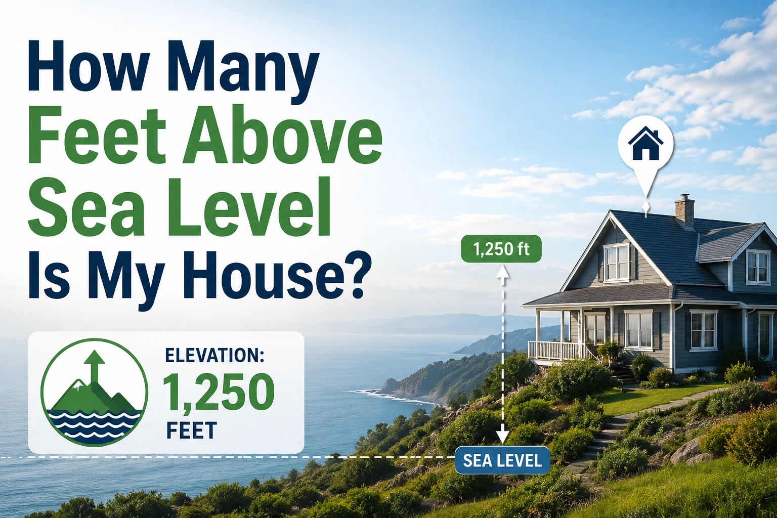
Many homeowners eventually ask:
How many feet above sea level is my house?
Whether you’re concerned about flooding, purchasing flood insurance, planning a construction project, assessing property value, or simply curious about your location, knowing your home’s elevation can be extremely useful.
Elevation affects everything from weather patterns and drainage to insurance costs and building requirements. Fortunately, modern mapping tools and government resources make it easier than ever to determine how high your home sits above sea level.
In this comprehensive guide, you’ll learn what elevation means, why it matters, how to find your home’s elevation, and how elevation impacts everyday homeownership.
What Does “Above Sea Level” Mean?
Elevation refers to the height of a location relative to mean sea level.
In simple terms:
Elevation measures how high a point on Earth’s surface is compared to the average level of the ocean.
If a property is located:
- 10 feet above sea level, it sits 10 feet higher than the ocean’s average level.
- 500 feet above sea level, it sits much higher.
- 5,000 feet above sea level, it is located at a significantly elevated altitude.
Elevation is typically measured in:
- Feet (United States)
- Meters (most other countries)
Why Home Elevation Matters
Knowing your home’s elevation is useful for several reasons.
Flood Risk Assessment
One of the most important reasons homeowners check elevation is flood risk.
Generally:
- Lower elevations have higher flood risk.
- Higher elevations are less vulnerable to flooding.
Floodplain maps often rely heavily on elevation data.
Flood Insurance Costs
Insurance providers often consider elevation when determining premiums.
Homes located:
- Below flood elevations
- Near rivers
- Near coastal areas
may require higher insurance premiums.
Construction and Development
Builders use elevation information when planning:
- Foundations
- Drainage systems
- Retaining walls
- Septic systems
Accurate elevation data helps prevent future water problems.
Weather and Climate
Elevation affects:
- Temperature
- Snowfall
- Rainfall
- Wind patterns
Higher elevations typically experience cooler temperatures.
Property Value
In some regions, elevation can influence:
- Views
- Flood risk
- Development potential
- Real estate values
Homes on elevated lots often command premium prices.
How Elevation Is Measured
Elevation is usually determined using:
Surveying
Professional surveyors use specialized equipment to calculate precise elevations.
Surveying provides the most accurate results.
GPS Technology
Modern GPS systems can estimate elevation.
Accuracy varies depending on:
- Equipment quality
- Satellite coverage
- Local terrain
Topographic Mapping
Government agencies create detailed elevation maps using:
- Aerial surveys
- Satellite imagery
- LiDAR technology
These maps are widely used for property evaluation.
How to Find Your House Elevation
There are several methods available.
Check Property Survey Documents
If you’ve purchased a home, your survey documents may include:
- Elevation information
- Topographic measurements
- Flood zone details
These records are often the most reliable source.
Review Elevation Certificates
Homes located in flood-prone areas may have:
- FEMA Elevation Certificates
These documents provide precise elevation measurements.
Use Online Elevation Tools
Many online mapping tools provide elevation estimates.
Common tools include:
- Mapping applications
- Geographic information systems (GIS)
- Government elevation databases
Simply entering an address often provides an elevation estimate.
Contact Local Government
County offices frequently maintain:
- Property records
- Topographic maps
- Floodplain information
These resources may include elevation data.
Hire a Professional Surveyor
For construction or legal purposes, professional surveys provide the highest level of accuracy.
Understanding Elevation Readings
Suppose your home is reported as:
500 feet above sea level
This means your property sits approximately:
500 feet
higher than average sea level.
The number itself doesn’t indicate flood safety or risk without considering nearby terrain and water sources.
Average Home Elevations in Different Regions
Elevation varies significantly across the country.
Coastal Areas
Many homes are located:
- 0–100 feet above sea level
These areas often face greater flood concerns.
Inland Plains
Many homes sit between:
- 500–2,000 feet
above sea level.
Mountain Regions
Properties may exceed:
- 5,000 feet
- 7,000 feet
- 10,000 feet
depending on location.
Elevation and Flood Zones
Flood zones are not determined solely by elevation.
Other factors include:
- River proximity
- Drainage systems
- Historical flooding
- Rainfall patterns
However, elevation remains one of the most important variables.
Understanding Base Flood Elevation
A commonly used term is:
Base Flood Elevation (BFE)
BFE represents the predicted water level during a major flood event.
If your house sits:
- Above BFE → lower risk
- Below BFE → higher risk
Insurance companies often use this information.
Elevation and Home Construction
Builders consider elevation when designing:
Foundations
Higher elevations may require different foundation designs.
Drainage Systems
Proper drainage prevents:
- Basement flooding
- Foundation damage
- Soil erosion
Septic Systems
Elevation impacts water flow and septic performance.
Elevation and Temperature
As elevation increases, temperature generally decreases.
A common estimate is:
3.5∘F decrease per 1,000 feet
This explains why mountain communities often experience cooler weather.
Elevation and Air Pressure
Higher elevations have:
- Lower air pressure
- Thinner air
Effects may include:
- Longer cooking times
- Different HVAC performance
- Reduced oxygen levels
Elevation and Landscaping
Homeowners often use elevation information for:
- Retaining walls
- Grading projects
- Irrigation planning
- Erosion control
Understanding elevation changes helps improve drainage and landscape stability.
Common Elevation Misconceptions
Higher Elevation Means No Flood Risk
Not always.
Flash floods can occur at many elevations.
GPS Elevation Is Always Accurate
Consumer GPS devices can contain errors.
Professional surveys provide more reliable results.
All Properties in a Neighborhood Share the Same Elevation
Even nearby homes can differ by:
- Several feet
- Dozens of feet
- More
depending on terrain.
When You Need an Exact Elevation
Precise elevation measurements are often necessary for:
- Construction permits
- Flood insurance
- Property surveys
- Legal disputes
- Engineering projects
In these situations, professional surveying is recommended.
Frequently Asked Questions
How can I find how many feet above sea level my house is?
You can check:
- Property surveys
- Elevation certificates
- Local GIS maps
- Online elevation tools
- Professional surveyors
Is elevation the same as altitude?
For homes and land, the terms are often used interchangeably.
Elevation is the more common term in real estate.
Why does my home’s elevation matter?
It affects:
- Flood risk
- Insurance
- Construction
- Drainage
- Property value
What is considered a high elevation?
Generally:
- Above 5,000 feet is considered high elevation.
Does elevation affect weather?
Yes.
Higher elevations typically experience cooler temperatures and different precipitation patterns.
Factors That Influence Elevation Accuracy
Several variables affect measurement precision:
Survey Method
Professional surveys provide the highest accuracy.
GPS Signal Quality
Satellite conditions can affect results.
Terrain
Mountainous regions may be more difficult to measure precisely.
Data Source
Government datasets are generally more reliable than crowd-sourced information.
How Elevation Impacts Future Homeowners
Understanding elevation can help with:
- Buying decisions
- Insurance planning
- Property improvements
- Long-term maintenance
Many buyers now check elevation before purchasing a home, especially in flood-prone regions.
Conclusion
So, how many feet above sea level is your house?
The exact answer depends on your property’s location and must be determined using surveys, elevation maps, GIS tools, GPS data, or official elevation certificates. Elevation measures how high your home sits relative to mean sea level and plays an important role in flood risk, insurance costs, construction planning, drainage, landscaping, and even local climate conditions.
By understanding your home’s elevation and how it affects your property, you can make more informed decisions about homeownership, maintenance, insurance, and future improvements. Whether your home sits 20 feet above sea level near the coast or 5,000 feet high in the mountains, elevation is a valuable piece of information every homeowner should know.